Multi Hazard Impact Based Monitoring, Forecasting and Early Warning System (MHEWS)
A Software Service Designed for Municipalities in the Philippines
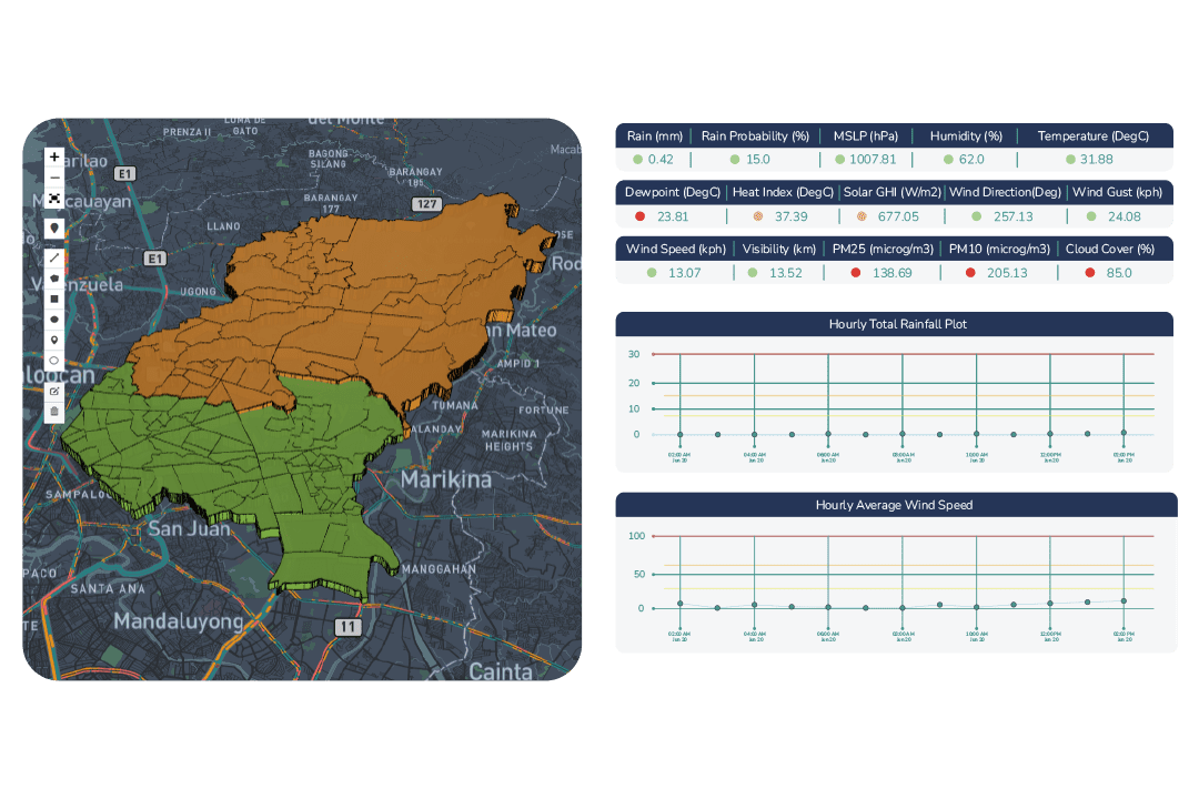
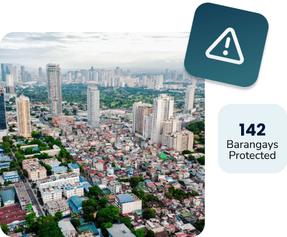
Municipalities can now have their own Emergency Operations Center (EOC) with the power to provide automated early warnings up to the Barangay and Citizen level. The system combines data from the Government, Private Sector and Artificial Intelligence (AI).
- Municipality and all its Barangays will now have their own Emergency Operations Center (EOC)
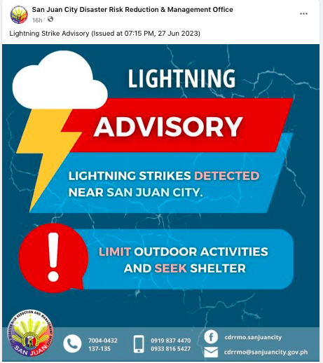
- Automated early warning alerts thru Facebook Page, SMS, Telegram and Email
- Can be setup in less than 24hrs and no need to buy or maintain expensive sensors
- Includes localized early warning and analysis for Typhoon, Heavy Rain, Potential Flood, Lightning, Thunderstorm, Heat Index, Air Quality, Mosquito Activity, Road Traffic and more